Colombia — 3iS
Active emergency Western Colombia earthquake — live impact dashboard and information products, updated as the response evolves. See the response →
Colombia · Country Programme

Turning information into humanitarian decisions

3iS works alongside humanitarian actors in Colombia to close the gap between data and decisions — tracking displacement, running inter-agency accountability channels, and putting evidence in the hands of the people coordinating the response.

9.1M people will require multisectoral assistance in Colombia in 2025
6.8M internally displaced people
2.81M Venezuelan refugees and migrants hosted (April 2024)
615 municipalities where safety risks affect 9.3M people
Country context

A response shaped by three overlapping crises

Colombia is simultaneously the main host country for Venezuelan refugees and migrants, a transit corridor toward Central and North America, and the theatre of eight internal armed conflicts — all against a backdrop of intensifying climate risk.

Displacement and mixed movements

  • 2.81Mrefugees and migrants from Venezuela hosted in Colombia as of April 2024
  • +24%increase in transit and secondary migration in the first half of 2024
  • 234,000people engaged in calculated movements
  • 3M + 500KVenezuelans and Colombian returnees projected for 2025

Colombia functions as a transit corridor toward Central America, North America and other South American countries, which makes movement patterns — not just stocks — the operational planning variable.

Conflict, access and climate risk

  • 8internal armed conflicts ongoing, with continued expansion of Non-State Armed Groups
  • 9.3Mpeople exposed to safety risks across 615 municipalities
  • 6.8Minternally displaced people
  • 2.9Mpeople exposed to climate-related risks during El Niño
9.1 million people in Colombia will require multisectoral assistance in 2025.
Emergency response · August 2026

Western Colombia earthquake

On the morning of 10 August 2026, a magnitude 7.4 earthquake struck western Colombia, with its epicentre in San José del Palmar, Chocó, followed by dozens of aftershocks.

Behind every number is a family without shelter, a hospital running without power, a road that rescue teams can’t yet reach.

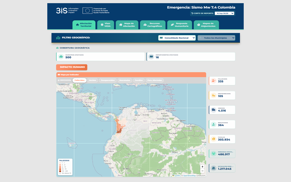
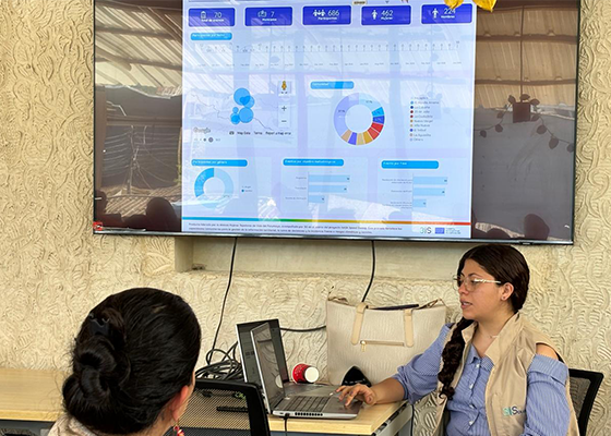
3iS maintains a live impact dashboard for the response, consolidating UNGRD and USGS data with sector needs reported by humanitarian partners.

331people died
111remain missing
4,505people injured
364people rescued
466,345people affected
298,791families affected
36,327homes destroyed
201,939homes damaged
4,316education facilities affected

Impact recorded across 497 municipalities in 16 departments. Also affected: 397 health facilities, 6,118 community facilities, 758 building collapses, 521 roads and 5 airports. An estimated 1,191,330 people are potentially affected, calculated from damaged and destroyed homes at a factor of five people per home.
Source: UNGRD / USGS. Last updated 16 September 2026.

Ongoing projects

What we’re running in Colombia right now

Ongoing · Consortium

EVIDEM +

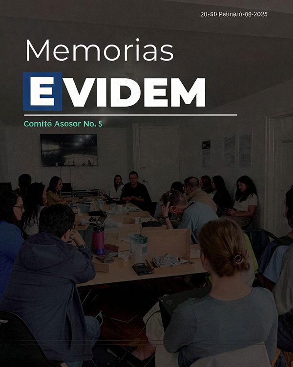
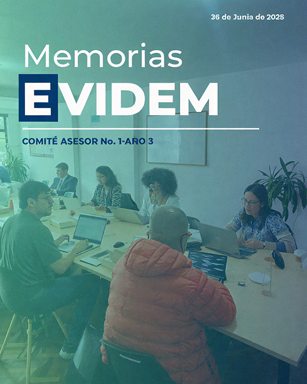
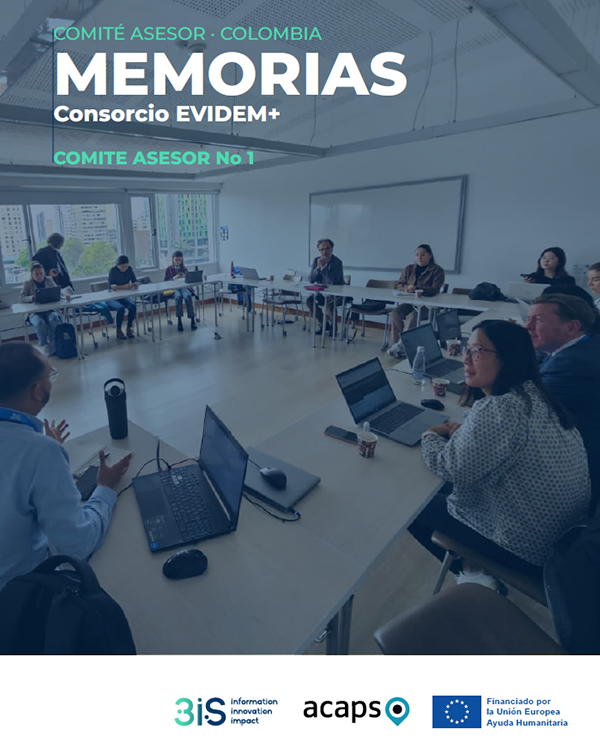
Evidence-based decision-making in Colombia and Ecuador. EVIDEM+ strengthens humanitarian decision-making and coordination by providing on-demand information management products and continuous displacement tracking, and by empowering local and national humanitarian actors through capacity building and data solutions for populations affected by armed conflict and disasters. EVIDEM+ is the current phase, succeeding the original EVIDEM consortium.

Colombia & Ecuador Displacement tracking Capacity building
Inter-agency mechanism

Inter-Agency Common AAP/CFM Mechanism

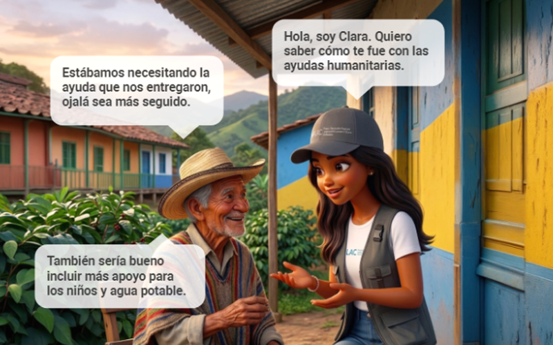
An initiative of the Regional Humanitarian Fund, implemented by 3iS. It strengthens accountability to affected populations through common feedback channels — the CLARA chatbot and in-person focus groups and key informant interviews — plus inter-agency analysis and response tracking. It complements, rather than replaces, the mechanisms that partners and consortia already run, and feeds a shared set of AAP indicators back into coordination and decision-making.

Accountability (AAP) Feedback channels Inter-agency
Google.org Accelerator

Leveraging GenAI — ANTICIPA

In June 2025, out of nearly 3,000 applicants, 3iS was one of 20 social impact organisations selected for funding, technical training and dedicated expertise from Google experts as part of the Google.org Accelerator: Generative AI. ANTICIPA is an intelligent multi-agent AI system backed by Google Cloud Platform, built around community engagement — strengthening data-driven decision-making and building community resilience through co-creation and chatbot-facilitated capacity building.

Generative AI Google Cloud Community resilience
Ongoing · Regional consortium

Amazon Basin Preparedness

Community early warning, regional humanitarian coordination and continuous monitoring of the humanitarian situation. The project strengthens preparedness and anticipatory action against drought, flooding, fire and displacement across the Amazon Basin — linking community early warning systems, a regional humanitarian network and standing information services that turn data into timely, localised and accessible decisions. Work runs across three results: community risk mapping and emergency protocols with multi-hazard activation thresholds; the Amazon Basin Humanitarian Network (RHCA) and its regional platform; and humanitarian monitoring with on-demand information services, including the deployment of EVIDesk in the Basin.

DG ECHO Sep 2026 – Apr 2027 Six Basin countries Anticipatory action

Implemented by 3iS with the Amazon Preparedness Portfolio partners. Led by Diakonie; implemented by World Vision Peru and Brazil, 3iS and Predes. Coverage: Colombia, Venezuela, Ecuador, Peru, Brazil and Bolivia.

Past performance

Track record in Colombia

EVIDEM

Completed · Evidence-based decision-making consortium, Colombia

3iS worked to improve decision-making across humanitarian sectors through information management products and services, coordination, methodologies, assessment tools and emergency response monitoring.

  • Strengthen humanitarian response through improved decision-making
  • Strengthen community engagement and accountability in conflict and disaster-affected areas
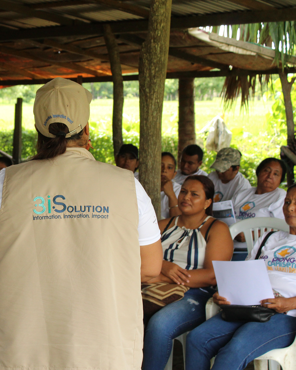
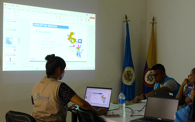
  • Deliver social mapping workshops and capacity building

This consortium has concluded. Its work continues under EVIDEM +, listed among the ongoing projects.

UNICEF Emergencies

Information management for emergency response

Strengthening UNICEF’s technical and human capacity in the formulation, development and use of information products for timely and accurate decision-making. Since 2018, the national government had requested UN System support to address the Venezuelan migration emergency, and UNICEF developed annual Humanitarian Action for Children (HAC) response plans in response.

Strategic lines:

  • Strengthening UNICEF-led coordination mechanisms for emergency response
  • Analysis and use of information for planning and reporting on UNICEF humanitarian action
  • Transfer of methodologies and tools for information management and handling

The support strengthened information management processes, delivered timely and high-quality information products, positioned priority issues affecting children and adolescents, and optimised reporting for UNICEF’s humanitarian response.

Mapping in Human Settlements

UNICEF Colombia · June 2022 – March 2023

The project “Mapping of human settlements and WASH conditions in the departments of Atlántico and La Guajira” identified water and sanitation needs in informal settlements and in protective environments — schools, health centres and early childhood development centres near those settlements — inhabited by populations affected by migration flows.

ANTICIPA-PACHAMAPA

Completed · NASA Lifelines · Putumayo, Colombia

Anticipatory action for risk management in Putumayo. Led by 3iS under the NASA Lifelines programme, the project strengthened preparedness for floods, landslides and flash floods through a WhatsApp-based tool. The model integrates scientific information from NASA and IDEAM, artificial intelligence, community training and governance mechanisms, turning data into timely decisions that strengthen preparedness and emergency response.

Key results:

  • ANTICIPA implemented in 4 municipalities of the Sibundoy Valley
  • Three hydrometeorological hazards prioritised, with activation thresholds
  • Initial integration of NASA and IDEAM data
  • 8 educational institutions engaged and 600 students trained in risk management
  • More than 20 community leaders and officials trained in watershed monitoring using drones
  • Three interactive training modules developed on WhatsApp
  • Selected for a second scaling phase of USD 50,000 through NASA Lifelines – Ready for Impact

Strategic partners: NASA Lifelines, Government of Putumayo, Departmental Risk Management Coordination, Departmental Secretariat of Education, UNGRD, Municipal Risk Management Councils and emergency response agencies.

Not to be confused with Leveraging GenAI — ANTICIPA, the ongoing Google.org Accelerator project.

Integrated Information System for Community Empowerment

Completed · NASA Lifelines Speed Dating · Putumayo, Colombia

Led by 3iS within the NASA Lifelines Speed Dating programme and developed in response to dialogues held with the Women Weavers of Life Alliance of Putumayo. The project strengthened territorial information management, territorial defence, community advocacy and risk management by integrating satellite analysis tools, territorial systematisation and community capacity building — transforming territorial data and community knowledge into structured information for decision-making, organisational strengthening and risk preparedness.

Key results:

  • Two territorial information systems: the Territorial System for Organizational Strengthening in Data Studio, and the Territorial Intelligence System built on Google Earth Engine
  • Three modules within the Territorial Intelligence System — forest (deforestation monitoring), climate (rainfall, temperature and humidity), and social cartography
  • 29 people trained (3 men and 26 women) from seven organisations
  • Two educational fact sheets describing the technical concepts in accessible language

Echoes of Resilience

Completed · L’Oréal Climate Emergency Fund · Ecuador and Peru

AI-driven early warning systems and community empowerment in the Amazon. Presented by World Vision France, Ecuador and Peru together with 3iS, the project set out to increase resilience against climate shocks in vulnerable Amazonian communities through synergistic information management services, capacity building, data readiness and community engagement.

Key outcomes:

  • Risk mapping and participatory assessments; 14 women leaders trained; 14 community risk committees established; rapid response kits distributed
  • A community-based early warning system (C-EWS): a dual-layer digital system using AI and WhatsApp chatbots, fusing satellite imagery, forecasts and community reports in real time
  • Local government strengthening: technical support for emergency centres and 300 officials trained, 150 per country

Target areas: Archidona, Napo Province, Ecuador (7 Kichwa communities) and Punchana, Loreto Department, Peru (7 urban-rural migrant communities). Beneficiaries: 7,080 direct and 13,690 indirect.

Key contacts

Talk to the team

Let’s create impact together

Partner with us to turn insights into action and deliver real results for your organization.

Get started today

Portfolio

Documents
The Inter-Agency Common AAP/CFM Mechanism
Documents
Impact Report - Localization Strategy
Documents
Colombia: Informe de Impacto - Estrategia de Localización
Documents
GIS Products and Services Catalogue
Documents
ATLANTIC TERRITORIAL SITUATION REPORT
Documents
The future of Humanitarian Organizations
Documents
Monitoring humanitarian response 345W in 2024 – Settlements and accommodation
Infographics
Prediction of Impacts from Hydrometeorological Phenomena: January-March 2025
Documents
Response and Strategy Recommendations for the Housing and Settlements Sector
Infographics
Impact of ending U.S. Foreign Aid Contracts in Colombia
Documents
Methodological Note – Calculation of People in Need (PiN) Overall and Intersectoral Severities 2025, Colombia
Documents
Recommendations for reducing food waste in temporary shelters. Catatumbo, Norte de Santander, 2025
Infographics
Results of the FSN-2024 Cluster
Documents
Flagship Initiative: Community Participation Indicator Toolkit – Community Participation Think Tank
Infographics
Humanitarian alerts and their implications for health, November 2024
Infographics
Infographic on the Magdalena Medio Humanitarian Response Team 2024
Infographics
Prediction of Impacts from Hydrometeorological Phenomena: Second Quarter 2025
Infographics
Prediction of Emergencies due to Conflict. Estimation of people at risk of displacement and confinement – First half of 2025