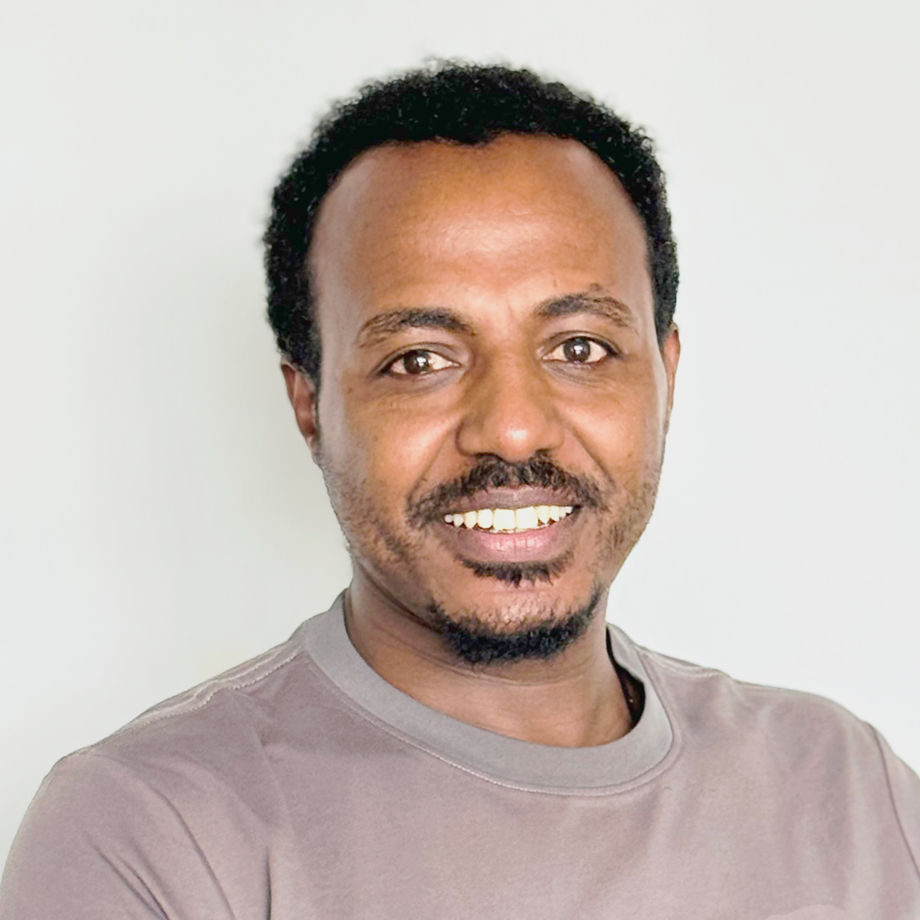
Tamene Sinishaw Gelaye
Ethiopia
- Group:Capacity Building
Tamene Sinishaw Gelaye
Ethiopia
Tamene is a Humanitarian Data and Information Management Specialist supporting emergency response, disaster risk management, and development programs in Ethiopia. He brings a strong background in data-driven decision-making, with expertise in research design, needs assessments, GIS and remote sensing, data visualization, and information product development.
Before joining 3iS, Tamene worked with the Ethiopian Red Cross Society as a Senior Information Management Officer, where he led project and Emergency response data collection and analysis efforts supporting real-time emergency operations and coordinated the development of live dashboards and situational reports. He has also served as a Lecturer and Researcher in GIS and Remote Sensing at Hawassa University and worked with the Information Network Security Agency on a national geospatial data infrastructure (SDI) national program.
Tamene holds an Erasmus Mundus MSc in Geospatial Technologies from Universität Münster and Universitat Jaume I, as well as an MSc in GIS & Remote Sensing from Mekelle University, and a BSc in Natural Resource Management from Wolaita Sodo University. He is fluent in English and Amharic, enhancing his ability to communicate within a diverse environmental setting.